Battir: A Heritage of Water
Documentary hosted by TheWaterChannel / Vimeo; original publisher embed
View original ↗Springs, farms, occupation, water permits and the people who kept building.
← Choose another history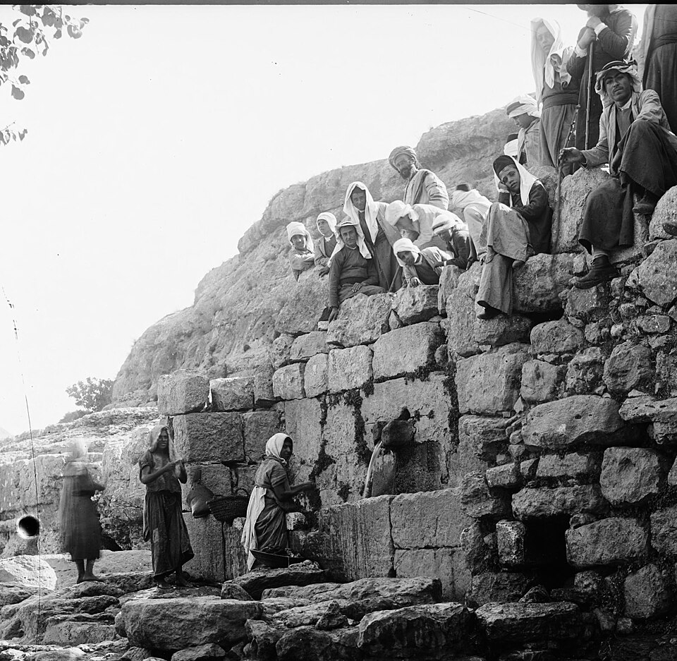 Archive image could not load; read the primary document linked beside this scene.
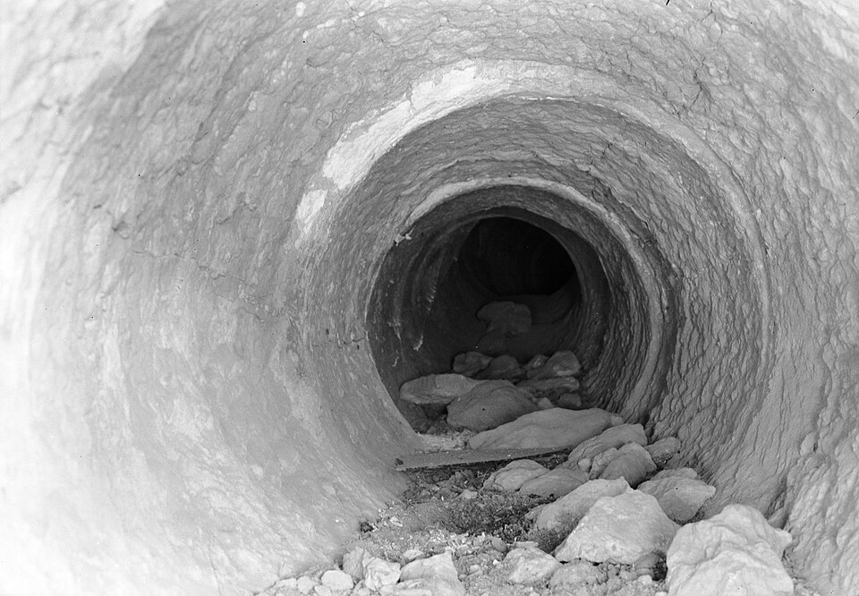
Jerusalem’s water history begins far earlier than any modern border. The Gihon Spring, rock-cut cisterns and aqueducts sustained successive inhabitants long before British occupation. A gravity-fed aqueduct from the Bethlehem hills was built in antiquity, adapted in Byzantine times, and redirected towards the Haram al-Sharif in the Umayyad period. Under later Ayyubid, Mamluk and Ottoman rule, reservoirs, fountains and dedicated charitable endowments helped keep public water moving. The same structures could serve pilgrims, neighbourhoods and elite foundations unequally; their histories were not free of contest. What matters is that engineers, craftspeople, residents and religious institutions maintained a layered Palestinian urban water landscape across centuries. The colonial map did not discover an unused landscape—it redescribed one already thick with work, memory and claims.
Archival image unavailable. Open the institutional record ↗
Long before Britain controlled Palestine, Jerusalem drew water through aqueducts connecting springs and reservoirs around Bethlehem to the city. Romans built parts of the system; Byzantine, early Islamic, Mamluk and Ottoman authorities repaired and adapted it. Under Sultan Süleyman in the sixteenth century, public sabīl fountains and a dedicated waqf helped sustain urban water supply. These arrangements served a city of Muslim, Christian and Jewish communities, though access and maintenance were never free of inequality. The British Mandate inherited an inhabited hydraulic landscape, not a blank space in need of European invention.
UNESCO: Jerusalem water system and historical phases. The linked source retains its own rights and context.
Inspect the original ↗In Battir, south-west of Jerusalem, villagers carried spring water through stone channels and divided irrigation time among families. This was not an empty landscape awaiting a water plan. Farmers maintained terraces, planted crops and negotiated the use of the spring long before Britain governed Palestine.
Archive image could not load; read the primary document linked beside this scene.During the First World War, British forces occupied Jerusalem. In 1917, the Balfour Declaration announced British support for a Jewish national home in Palestine, while referring to the rights of existing non-Jewish communities. The people living beside Palestine’s springs and fields did not choose the terms of that declaration.
 Archive image could not load; read the primary document linked beside this scene.
On 7 November 1921, the British government told Parliament it had agreed in principle to give Pinhas Rutenberg a concession to use the Jordan and Yarmouk waters to generate electricity. The decision was debated in London during British rule in Palestine. It tied the river to a new administration of land, energy and political authority.
 Archive image could not load; read the primary document linked beside this scene.
Britain’s 1917 Balfour Declaration promised support for a Jewish national home in Palestine. It described the country’s Arab population as “existing non-Jewish communities” and promised their civil and religious rights, without naming their political rights or right to national self-determination. The League of Nations Mandate approved in 1922 incorporated that declaration and made Britain responsible for facilitating the national-home policy. Palestine’s inhabitants were not asked to author the instrument under which they would be governed. A legal text became a machinery of colonial authority, migration policy and unequal political recognition.
Archival image unavailable. Open the institutional record ↗
In 1936 Palestinian workers, traders, farmers and local committees mobilised in a general strike against British colonial government, immigration policy and land dispossession. The revolt widened and met emergency regulations and military repression. In June 1936 British forces demolished sections of Jaffa’s Old City. Their own report, Military Lessons of the Arab Rebellion, preserved aerial photographs marking buildings before and after demolition. These are records of an imperial army using mapping and force to reshape a living Palestinian city. The history of resistance did not begin in 1948, and Palestinians did not merely await decisions made by colonial administrators.
British military archive: Jaffa before demolitions, 18 June 1936. The linked source retains its own rights and context.
Inspect the original ↗In 1948, Zionist militias and then Israeli forces expelled Palestinians from homes and villages, while fighting and fear drove others to flee. Hundreds of thousands lost their homes. Families lost houses, farmland, wells and connections to village springs. Those losses were not only about land ownership: irrigation channels and olive groves were bound to family livelihoods.
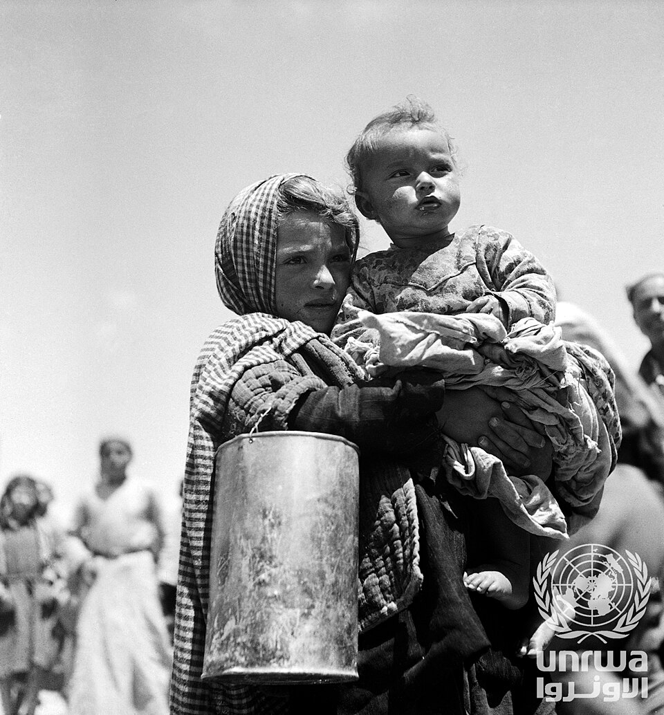 Image could not load; follow the archive source cited in the caption.
In 1949, Musa Alami’s Arab Development Society sought to build an agricultural settlement and training project near Jericho for Palestinian refugees. A July UN report described a Transjordanian approval for land, but also saline soils and groundwater that was difficult to reach. Workers continued the project, and a vocational training centre opened in 1952.
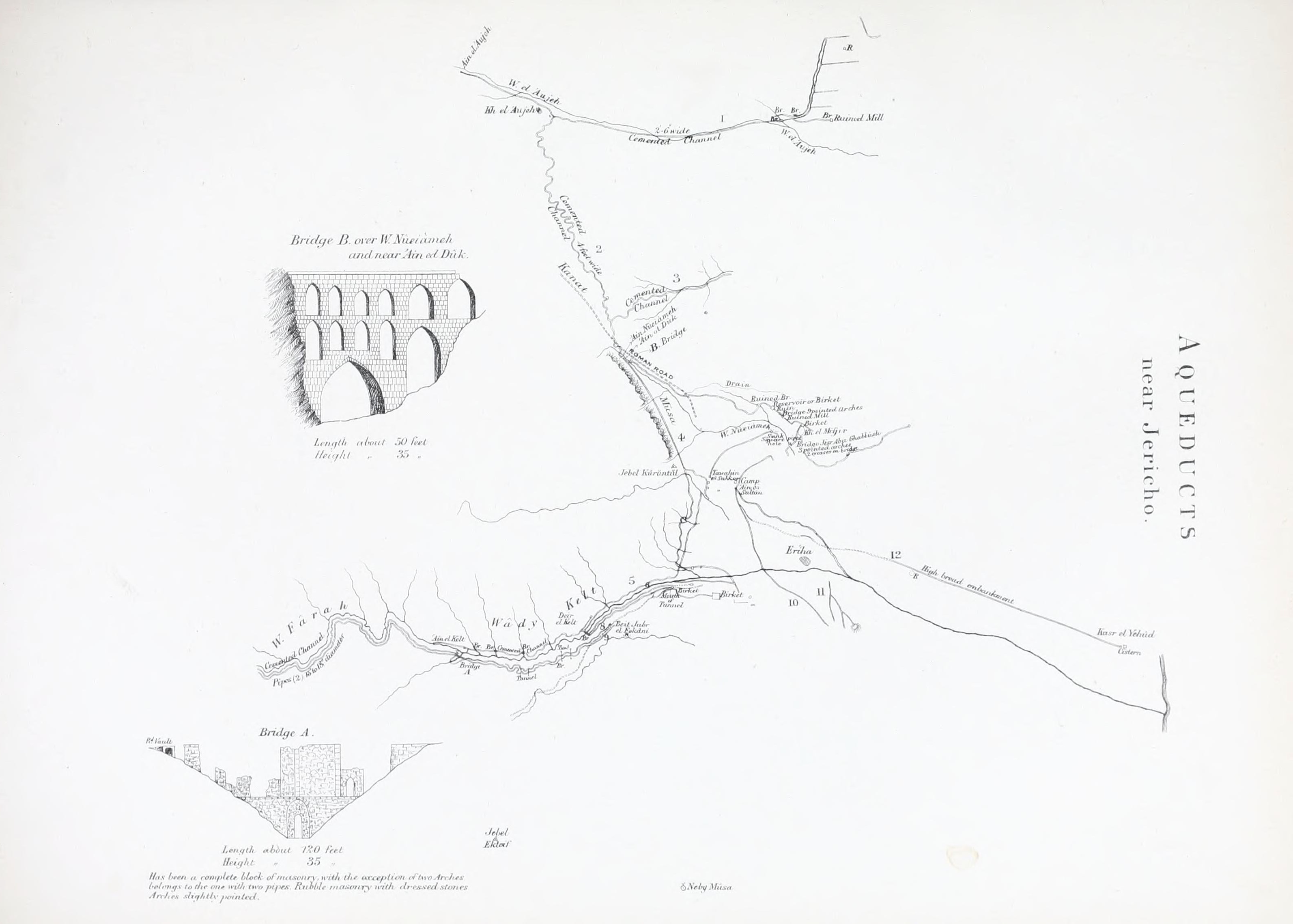 Image could not load; follow the archive source cited in the caption.
At the Arab Development Society project outside Jericho, Palestinian workers dug irrigation channels by hand. A photograph preserved by the Palestinian Museum shows them at work in the 1950s. Musa Alami’s Society had been established before the Nakba; after 1948 its farm, workshops and training programme offered displaced Palestinians an opportunity to work and learn. It was an agricultural enterprise built by Palestinians, not an empty landscape awaiting outside expertise.
Original record: Palestinian Museum: workers excavating a water channel
View the source ↗During the June 1967 war, Israel occupied the West Bank and the Syrian Golan Heights, among other territories. Access to Jordan basin waters and to West Bank groundwater became bound up with Israeli military administration and later legal restrictions on Palestinian water infrastructure.
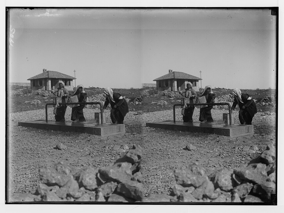
Archive image could not load; read the primary document linked beside this scene.The 1995 Israeli–Palestinian Interim Agreement created a Joint Water Committee with consensus decision-making over specified water projects. In Area C, additional Israeli Civil Administration permits were required. Years later the World Bank described how approval and access restrictions hindered Palestinian water investments.
Editorial reconstruction of the institutional approval sequence, not an archival document.
A World Bank review found that Palestinian utilities and communities faced problems building and maintaining networks under fragmented jurisdiction and control over permits, land and movement. That translated into delayed projects and unequal reliability for households. Development finance could pay for equipment and pipes, but it could not by itself remove the territorial authority that determined where Palestinians could build and repair them. The crisis was political as well as technical: investment and control were not the same thing.
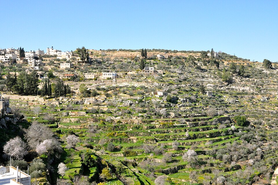 Image could not load; follow the archive source cited in the caption.
UNESCO inscribed Battir’s terraced agricultural landscape on the World Heritage List and the List of World Heritage in Danger in 2014. The irrigation turns and stone channels were not simply picturesque antiquities: Palestinian families still depended on them to cultivate land. The proposed route of Israel’s separation barrier threatened the integrity of the landscape and farmers’ access. Heritage work, village organising and legal challenges became ways of defending a living relationship between people, springs and fields. The scene reconnects a centuries-old water practice to the political geography of occupation.
Archival image unavailable. Open the institutional record ↗
Gaza’s water crisis did not begin in October 2023. Families displaced during the 1948 Nakba sought refuge in Gaza. Israel occupied the territory in 1967, and its blockade from 2007 restricted people’s movement and the entry of materials needed to build and repair water and sanitation infrastructure. UN humanitarian assessments documented these constraints and the deterioration of water services long before the latest war.
In 2014, years before the latest war, UNICEF reported that more than four in five Gaza residents bought drinking water from unregulated private vendors. Some families paid as much as a third of their income for water. Publicly supported desalination brought relief to some neighbourhoods, but plants needed electricity and fuel, both constrained by closure and restrictions. An unsafe aquifer, restricted infrastructure and households forced into expensive private purchases were already part of the political economy of Gaza’s water.
On 7 October 2023, Hamas-led Palestinian armed groups attacked southern Israel, killing civilians and taking hostages. Israel then launched an extensive military campaign in Gaza. Israeli bombardment and ground operations devastated civilian infrastructure, while Israeli restrictions on fuel and supplies impeded water production and repairs. Israeli attacks and restrictions left families relying on tankers, damaged wells and improvised sanitation. UNICEF reported in July 2026 that nearly 90 per cent of Gaza’s water and sanitation infrastructure had been damaged or destroyed. Palestinian technicians continued trying to keep the remaining systems working.
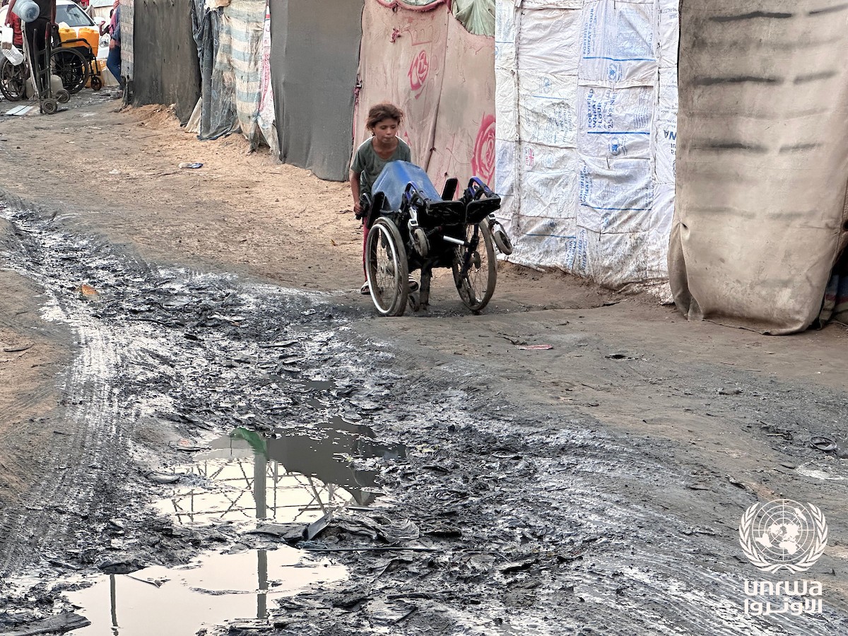 Image could not load; follow the archive source cited in the caption.
Between October 2023 and June 2024, researchers at Forensic Architecture mapped damage across Gaza. Their analysis found that more than 47 per cent of identified groundwater wells and 65 per cent of water tanks had been destroyed or damaged; the status of many other wells remained unknown. The investigation documented repeated Israeli military destruction of agricultural land and water resources. In the same period, Palestinians attempted to repair, move water and keep farming under bombardment.
Primary evidence: Forensic Architecture: spatial investigation and methods
View the source ↗At Gaza City’s Al Manshia desalination plant, Omar Shatat and colleagues at the Palestinian Coastal Municipal Water Utility, working with ICRC engineer Husam Al Nunu, repaired machinery, constructed two storage tanks and a borehole, and established a water-truck filling point. The ICRC reported in June 2026 that the restored site produced 40,000 litres of water per hour and served about 30,000 people. Omar described their work as protecting residents’ dignity. He also documented the shortages of electricity, fuel, oil and replacement parts that kept Palestinian technical capacity from becoming secure public access to water.
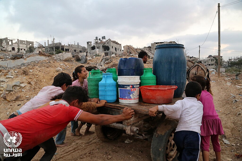 Image could not load; follow the archive source cited in the caption.
Twelve-year-old Fatima was displaced from Jabaliya after a strike destroyed her family’s home. She now lives in a tent in Deir al-Balah. As she and her father collected water from a nearby UNICEF-supported tank, Fatima explained: “After we were displaced, the hardest thing was finding safe water.” In the same February 2026 photo essay, Latifa al-Farra, a mother of eight displaced from Shuja’iyya, described walking long distances for water even when unwell. Her husband had died during the war. A tank closer to her shelter eased the journey, but it did not restore the home, reliable piped supply or ordinary life her family had lost.

UNICEF USA · 2026
Documentary hosted by TheWaterChannel / Vimeo; original publisher embed
View original ↗
Al Jazeera documentary, hosted by the original publisher.
View original ↗UNICEF USA, 26 May 2026
Original film ↗Continue the research by following another river, or see how engineering, mapping and development changed over the same years.
The history of water knowledge →Photographs, names and documentary records from the people and institutions who preserved this history.
Explore the original record ↗